Flooding could become more frequent and severe in parts of the Shubenacadie Lakes region, according to a new study.
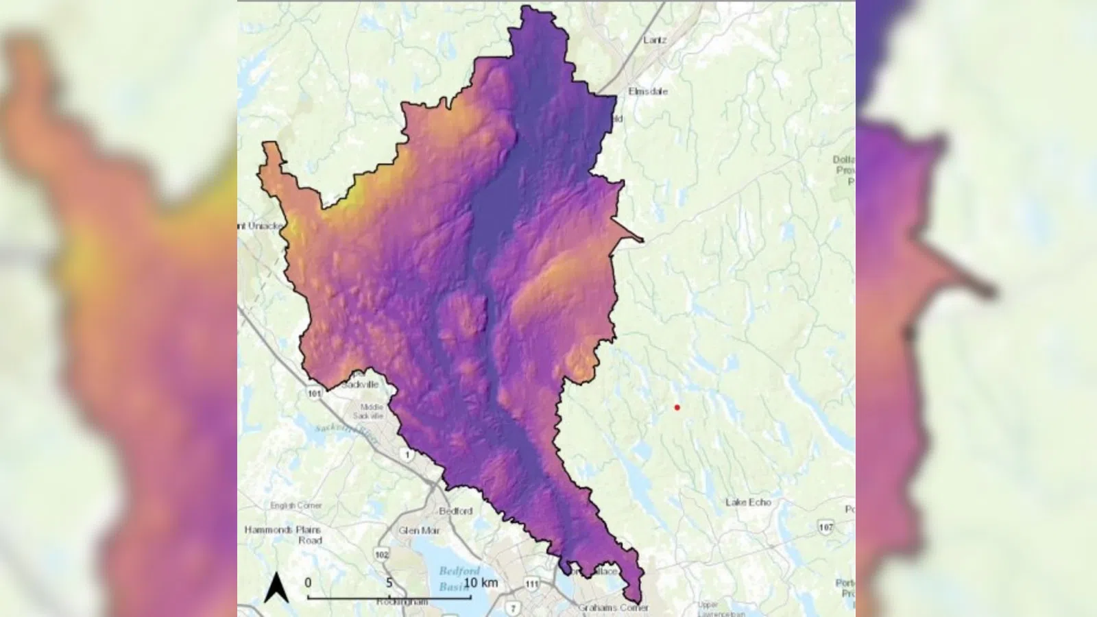
The Halifax Regional Municipality has released the Shubenacadie Lakes Floodplain Study, which outlines flood risks across several lakes in the area.
The study identifies zones vulnerable to one-in-20 and one-in-100-year flood events, incorporating climate change projections through to the year 2100.
The study area includes Grand Lake, Fletchers Lake, Lake Thomas, Lake William and Lake Charles.
It spans Planning Districts 14 and 17, as well as the Dartmouth Plan Area, from Lock 5 to Lock 2.
Initiated in 2019 and partially funded by the National Disaster Mitigation Program, the study recommends further research into mitigation strategies.
These include updates to land-use planning, green infrastructure, asset management in high-risk zones and potential infrastructure upgrades.
Residents can explore the interactive maps, and can also access the full report here.
The municipality says the findings will help guide future planning and support long-term flood prevention efforts